Animals

Navigate the Past: Rare Maps Quiz!

What is the earliest known world map?

The Babylonian Map of the World

Ptolemy’s World Map

The Mappa Mundi

The Catalan Atlas

The Babylonian Map of the World, also known as the Imago Mundi, is the earliest known world map, dating back to the 6th century BCE. It represents the world as a flat disk surrounded by water.

Which map first depicted the Americas?

The Cantino Planisphere

The Waldseemüller Map

The Piri Reis Map

The Mercator World Map

The Waldseemüller Map, created in 1507, is famous for being the first map to depict the Americas and to name the continent after the explorer Amerigo Vespucci.

What was the primary purpose of medieval mappaemundi?
Navigational aid

Artistic expression

Religious education

Trade routes illustration

Medieval mappaemundi, like the Hereford Mappa Mundi, primarily served a religious educational purpose, depicting the spiritual order and religious narratives rather than providing geographical accuracy.

Who created the first map using the term “America”?
Christopher Columbus

Martin Waldseemüller

Gerardus Mercator

Abraham Ortelius

Martin Waldseemüller was the cartographer who first used the name “America” on his map, the Universalis Cosmographia, in 1507, in honor of Amerigo Vespucci.

Which map is known as the first modern atlas?
Theatrum Orbis Terrarum

Cosmographia

Atlas Maior

Civitates Orbis Terrarum

The Theatrum Orbis Terrarum, created by Abraham Ortelius in 1570, is considered the first modern atlas, containing a collection of uniform map sheets and systematic captions.

What unique feature is seen in the Catalan Atlas?
Detailed city illustrations

Zodiac signs

Compass roses

Trade wind directions

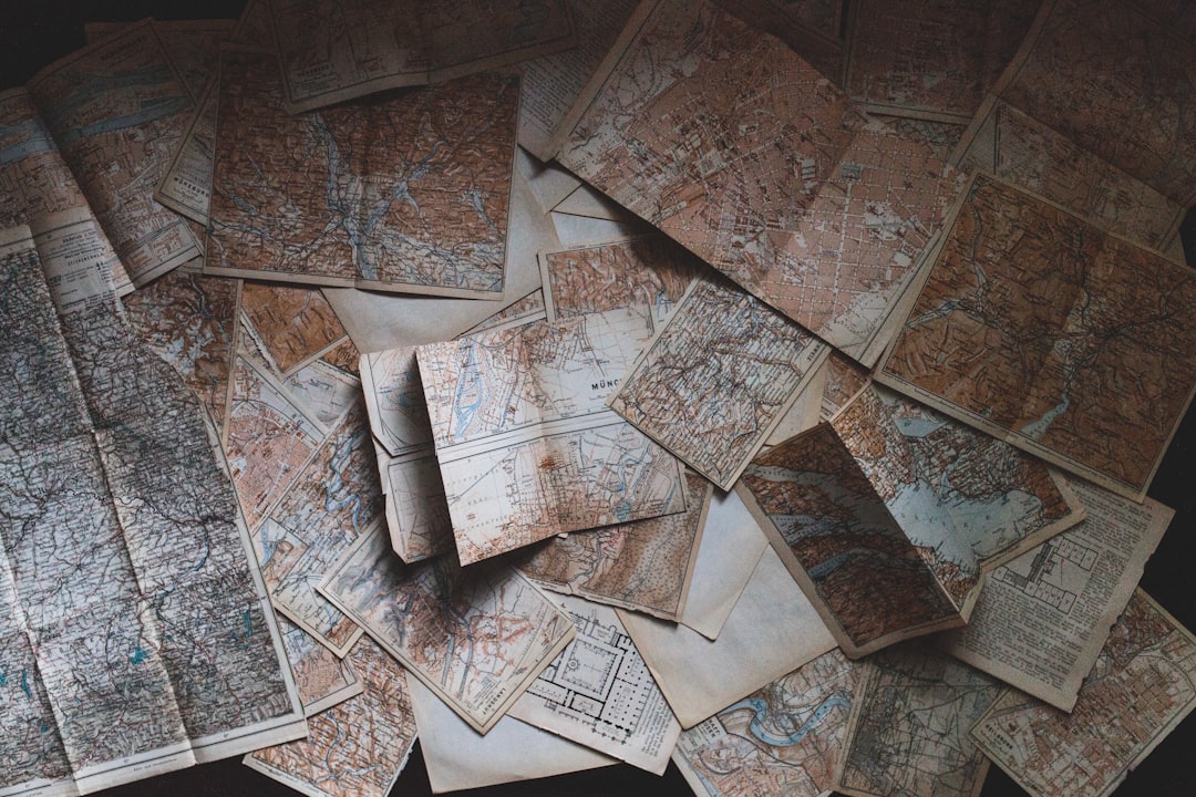
The Catalan Atlas, created by Abraham Cresques in 1375, is notable for incorporating zodiac signs, integrating astronomical information with geographical mapping.

Which rare map showed California as an island?

The Vinland Map

The Visscher Maps

Sanson’s Map

Briggs’ Map

Briggs’ Map, created by Henry Briggs in the 1620s, is one of the famous maps that depicted California as an island, a common misconception in early modern cartography.

Which map is considered the first geological map?

Smith’s Geological Map of England

The Map of Strabo

The Turin Papyrus Map

Mudge’s Topographic Map

William Smith’s Geological Map of England, Wales, and Part of Scotland (1815) is recognized as the first geological map, presenting the geological strata of the region.

What was the primary use of the Turin Papyrus Map?
Military strategy

Mining operations

Religious ceremonies

Trading routes

The Turin Papyrus Map, dating back to around 1160 BCE, is the oldest surviving topographical map from ancient Egypt and was used to guide mining expeditions.

Which cartographer created a map known for its stunning artistic detail and was also a pioneer in illustrating lunar maps?
Johannes Kepler

Galileo Galilei

John Speed

Al Idrisi

John Speed, an English cartographer from the late 16th and early 17th centuries, is renowned for his richly decorated maps of countries and his pioneering work on a lunar map in 1603.

What map did Da Vinci famously sketch?
Italian Peninsula

World Map

Imola

Moon Surface

Leonardo da Vinci famously sketched a detailed map of Imola in 1502, designed to be an accurate city plan for military use, demonstrating his innovative approach to cartography.

Which map is recognized for its elaborate sea monsters?
Olaus Magnus’ Carta Marina

Mercator’s World Map

Tabula Rogeriana

Selden Map

Olaus Magnus’ Carta Marina, created in 1539, is renowned for its detailed and imaginative depiction of sea monsters, reflecting the maritime myths of the period.

What map famously features the Northwest Passage?
Mercator’s Arctic Map

Waldseemüller’s World Map

Zeno Map

Lewis and Clark Expedition Map

Mercator’s Arctic Map of 1595 prominently features the Northwest Passage, a testament to the ongoing European quest to find a direct northern route to Asia.

Which map introduced the term “Terra Australis”?
Mercator’s World Map

Ortelius’ Theatrum Orbis Terrarum

Dalrymple’s Charts

Sanson’s Map

Abraham Ortelius introduced the term “Terra Australis” in his 1570 atlas Theatrum Orbis Terrarum, referring to a hypothetical southern continent.

What is the oldest known urban map?

Catalan Atlas

Plan of Nippur

The Turin Papyrus Map

Copper Scroll

The Plan of Nippur, dating from around 1400 BCE, is the oldest known city map, showing the city of Nippur in ancient Mesopotamia.

Who is known for mapping the human genome and not the world?

Craig Venter

Charles Darwin

Gregor Mendel

James Watson

Craig Venter is renowned not for traditional cartography but for his pivotal role in mapping the human genome, marking a different kind of mapping endeavor.

What 16th-century map is known for its depiction of Africa?

Mercator’s World Map

Blaeu’s Grand Atlas

Ortelius’ Theatrum

Leo Africanus’ Map

Leo Africanus’ Map, created in the 16th century, is noted for its detailed depiction of Africa, far surpassing other contemporary representations in its accuracy and depth.

Which explorer’s travels were detailed in the Vinland Map?

Leif Erikson

Christopher Columbus

Marco Polo

Vasco da Gama

The Vinland Map, though controversial, is reputed to detail the Norse explorations of North America, particularly those led by Leif Erikson.

What is the first known map of the Americas by a native?

Popol Vuh Map

Sigüenza’s Map

Códice Mendoza

Map of Tenochtitlan

The Map of Tenochtitlan, created by indigenous peoples, is one of the earliest known maps of an American city, depicting the Aztec capital.

What ancient map was used primarily for religious purposes?

Map of Mundi

Mappa Mundi

Ebstorf Map

Psalter Map
The Psalter Map, created in the 13th century, primarily served a religious function, illustrating a medieval European view of the world centered around spiritual themes.

Cartographic Castaway?

You might feel a bit lost; time to chart more maps!

Map Apprentice

You’re navigating well but keep your compass handy!

Master Cartographer

You’ve charted a perfect course through map history!

Related Posts

1 of 25